Estimated reading time 3 minutes, 6 seconds.
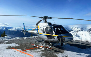
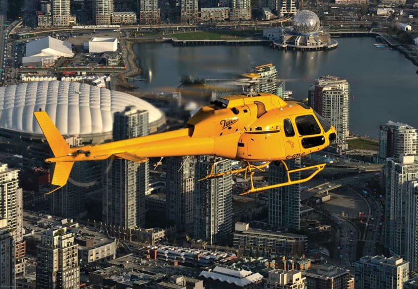
Remote GeoSystems, along with Vancouver-based North Shore Rescue and Talon Helicopters, have announced the successful deployment of a geoDVR Gen2 with a FLIR daylight EO/IR gyro-stabilized video camera on an Airbus TwinStar (AS355) for search-and-rescue (SAR) missions.

The geoDVR Gen2 is an advanced mil-spec DVR for recording multiple channels of high-definition (HD) and standard-definition (SD) geospatial full motion video in airborne and rugged vehicle environments.
The geoDVR’s ability to reliably record HD color and IR, along with continuous GPS data and Live Moving Maps, make it ideally suited for professional airborne search-and-rescue, law enforcement and infrastructure inspection applications that utilize multi-sensor gimbal video cameras.
“Remote Geo has a reputation for building one of the industry’s most dependable and user-friendly airborne geospatial video recorders, complete with flexible post-flight mapping tools. So the geoDVR Gen2 was an obvious choice when we were asked to fly the FLIR on the TwinStar for mountain search-and-rescue,” said Peter Murray, founder and operations manager at Talon Helicopters.
“Adding the FLIR camera to North Shore Rescue’s toolbox has been a great enhancement to NSR’s capabilities. Having the ability to record and geo-track the location of the video seemed essential to maximizing the full potential of the FLIR camera. The geoDVR allows searchers to review recorded video for clues that may or may not have been observed during the flight,” said Jim Loree, North Shore Rescue SAR manager and air operations coordinator.
The geoDVR’s ability to reliably record high-definition color and infrared make it ideally suited for professional airborne search-and-rescue, law enforcement and infrastructure inspection applications that utilize multi-sensor gimbal video cameras. Remote GeoSystems PhotoAccording to Loree, “This feature could also be highly valuable in a large-scale disaster such as an earthquake where widespread areas are surveyed for damage. Emergency operation centers would be able to use the data to help them make decisions on where and how to deploy resources based on the exact location and extent of damages provided by the video recording.”
North Shore Rescue and Talon Helicopters will use the geoDVR with a FLIR generously donated by Port of Vancouver to perform helicopter-based SAR operations with color and infrared. Then, using LineVision software post-flight, North Shore Rescue will review the geoDVR videos and flight tracks overlaid on Google Earth and Esri maps for training mission planning and recovery operations.
Since North Shore Rescue is an all volunteer organization, Remote GeoSystems donated 18 LineVision Esri Maps and LineVision Google Earth licenses as part of the implementation.